The aftermath of a tropical system passage often brings high pressure and pleasant weather. That will be the case beginning today - Sunday - and lasting throughout the upcoming week. The cold front which helped push Debby's remnants away is still crawling south and east, extending from Norfolk to Durham NC this morning.
Cooler and especially less humid air is slowly filtering east and south. Dew points have already dropped into the more comfortable low to mid-60s (vs. the tropically sticky mid-70s!) in Halifax and Lunenburg counties. As today progresses Mecklenburg county will also be the recipient of less humid air while temperatures top out in the mid-80s this afternoon. That's several degrees below average for this date.
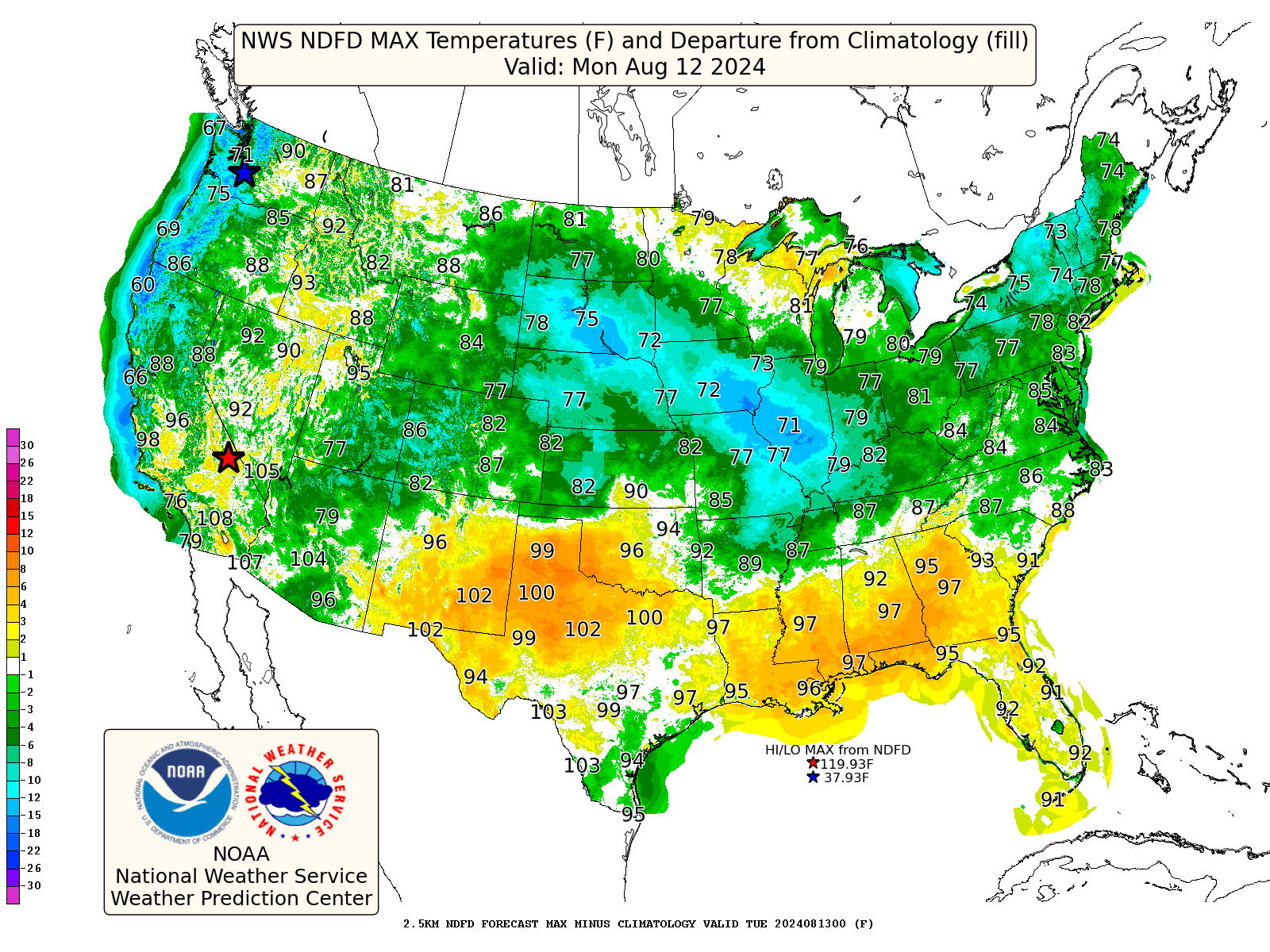
In fact, temperatures during the entire week ahead look to be cooler than August averages. The greens and blues on this graphic showing Monday's forecast highs indicate lower than average temperatures for the northern two-thirds of the nation including Virginia:
No comments:
Post a Comment